Australian Renewable Energy Mapping Infrastructure Project
- $2.34m Funded by ARENA

- $3.42m Total project cost

Summary
The Australian Renewable Energy Mapping Infrastructure Project (AREMI) is being developed to share mapping data and information with the renewable energy industry. The mapping platform is being developed by CSIRO’s Data61, Australia’s Centre of Excellence in Information and Communication Technology Research and Development.
Key results
The Project was able to achieve a number of key outcomes for the AREMI platform, as follows:
- Over 1,000 datasets made available ranging from renewables, electricity, infrastructure to environment, boundaries, population, research and weather;
- Over 126,000 users recorded between 2015-2019, with 288,000 user sessions (averaging 4,500 sessions per month);
- Most frequently used datasets were renewables, such as solar, wind, pumped hydro, bioenergy; cadastre; and electricity;
- Projected benefit of $11.7million over the next 10 years based on an impact assessment of the TerriaJS – the open source software supporting the AREMI platform – conducted by the Centre for International Economics in January 2019.
Learn more
Video: AREMI Australian Renewable Energy Mapping Infrastructure Platform
The AREMI project is being developed to share mapping data and information with the renewable energy industry.

Media Release: One Stop Shop for Renewables Mapping Data
ARENA announced up to $2.1 million funding for National ICT Australia (NICTA) to develop an online national renewable energy mapping platform.
Scope
A large amount of mapping data and information relevant to the renewable energy industry is currently collected and housed by different agencies and institutions. However, there is no central source for this information and finding it can be time consuming and challenging.
The Australian Renewable Energy Mapping Infrastructure Project will consolidate data currently housed by multiple organisations such as Geoscience Australia, the Bureau of Meteorology and CSIRO.
The purpose of the AREMI project is to better inform energy supply and infrastructure investment decisions; reduce the time and costs associated with early stage project planning; and create opportunities for value adding analytical work within the public and private sectors.
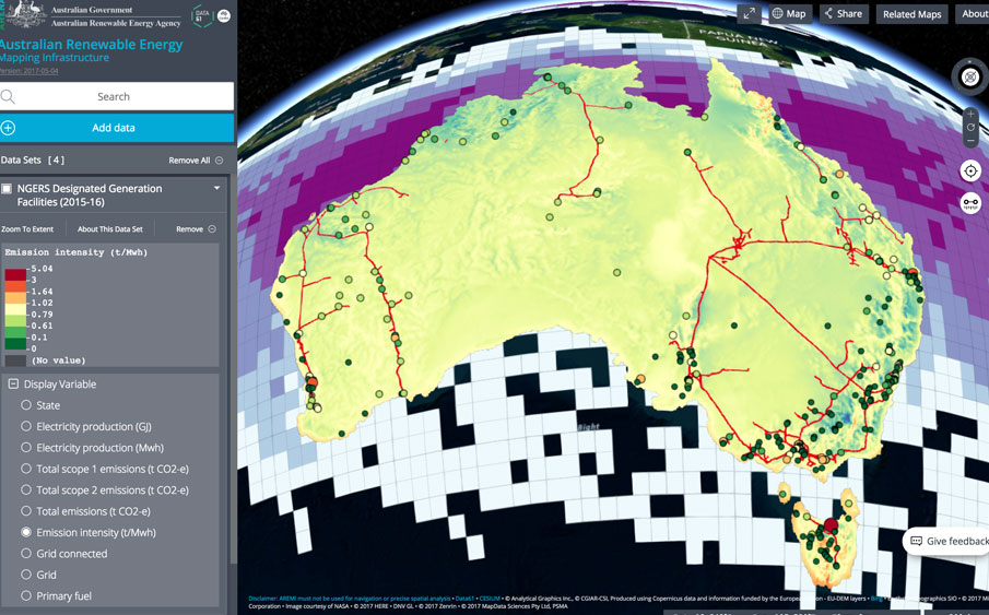
AREMI makes it easier for renewable energy projects to get off the ground in Australia. We provide a ‘one stop shop’ for all open geospatial data relevant to the energy sector stakeholders from government, industry and research. Energy project developers can freely access spatial information such as existing electricity infrastructure to assist with site identification.
The AREMI platform enables financiers and investors to explore the potential success of proposed ventures. AREMI also acts as a repository for ARENA–funded mapping projects to enable their access in one consolidated location.
Project innovation
The open source, three-dimensional mapping platform converts and visually displays information in a web browser without the need for external software or plugins. It facilitates access to multiple geospatial datasets or various formats in one location. For example, it can be used to overlay electricity, geothermal and land use data from Geoscience Australia; water, solar and weather data from Bureau of Meteorology; population from the Australian Bureau of Statistics or outputs from other ARENA projects such as the Institute of Sustainable Future’s ‘Network Opportunity Mapping’ project.
The front-end of the software uses Cesium, an open source WebGL virtual globe and map engine, which is developed by Data61 alongside other organisations.
Benefit
The AREMI project will contribute directly to the ARENA knowledge sharing activities and priorities.
The project will provide a centrally accessible repository for ARENA project information and a portal for $15 million of ARENA-funded mapping projects. Renewable energy project developers will be able to freely access spatial information such as ground measurements and existing infrastructure to assist with site identification.
The mapping platform will also:
- Enable users to store and access geospatial data and information from multiple sources.
- Allow users to search and visualise multiple data layers in 3D, and to produce and export high resolution maps.
- Provide enabling tools and information to boost development and deployment of renewable energy in Australia.
ARENAWIRE Blogs

Supercharge your business
Are you looking for the opportunities in the energy market? Do you want to make quick and informed renewable energy choices that will benefit your site? Or do you simply want to understand how your local area is transforming towards cleaner, reliable, and affordable renewable energy?
